High-altitude drone photography unlocks breathtaking perspectives, transforming landscapes into mesmerizing works of art. Whether capturing sprawling real estate properties, monitoring environmental changes, or documenting rugged adventures, drones soaring above traditional limits offer unparalleled creative opportunities. However, mastering this craft requires specialized equipment, technical know-how, and strict safety practices. This guide dives into the essentials for capturing stunning high-altitude imagery while ensuring compliance and safety.
1. Essential Equipment for High-Altitude Drone Photography
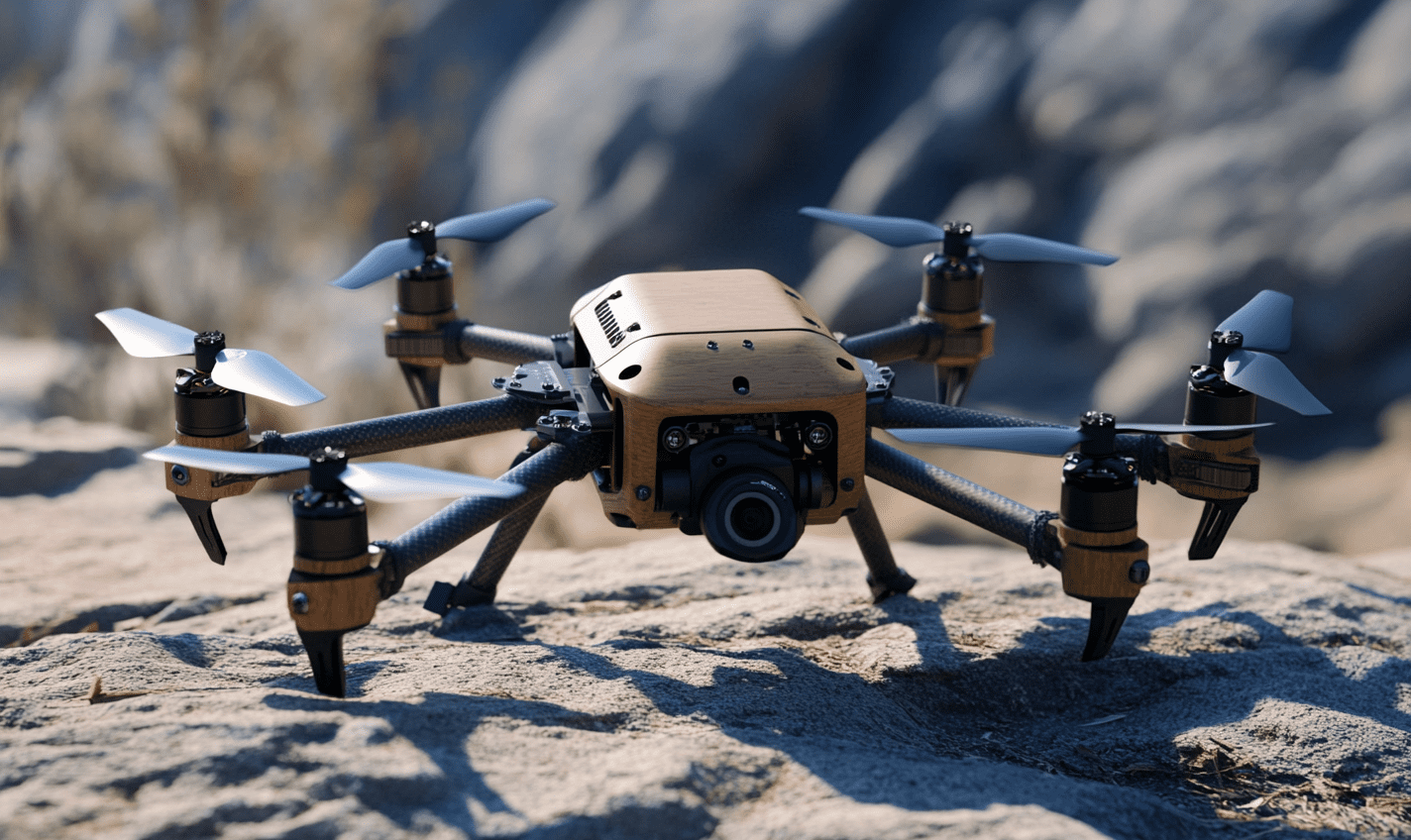
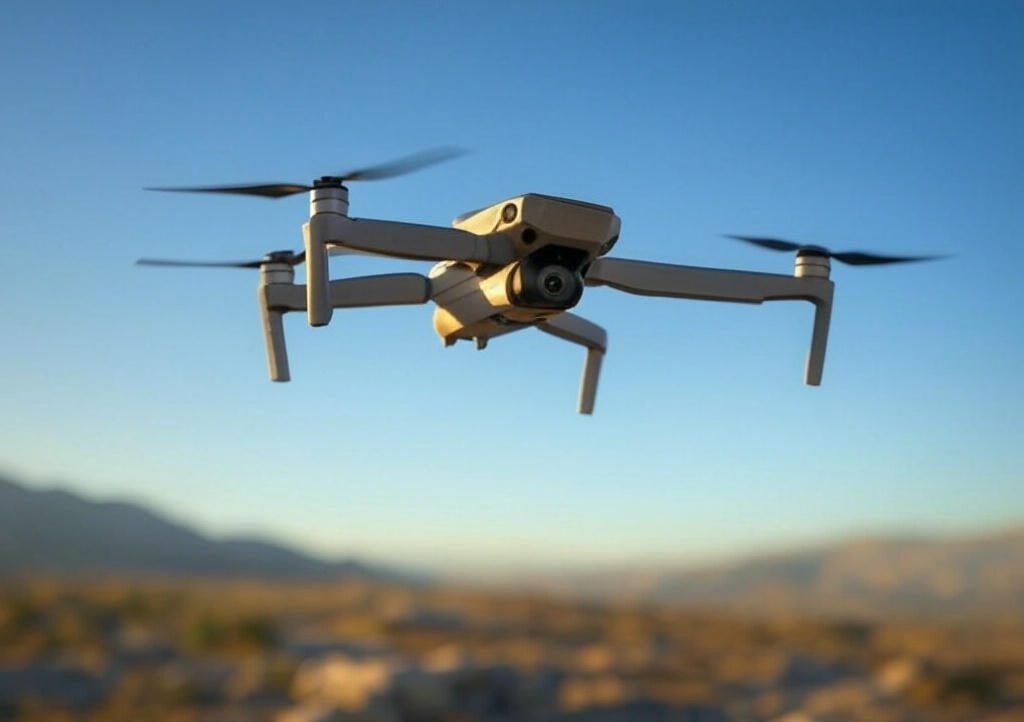
A. Drones Built for Altitude
Not all drones handle high-altitude conditions. Prioritize models with:
- Robust Wind Resistance: DJI Mavic 3 and Phantom 4 Pro excel in windy environments.
- GPS Stability: Ensures precise hovering and navigation.
- Altitude Limits: Check manufacturer specs (most consumer drones cap at 400–500 meters). Always adhere to local regulations, such as the FAA’s 400-foot rule in the U.S.
B. High-Quality Cameras
Look for:
- Large Sensors: 1-inch or larger sensors (e.g., Sony RX0) reduce noise in low-light conditions.
- Adjustable Aperture: Enables control over depth of field (e.g., f/2.8 for sharp subjects).
- RAW Capture: Provides flexibility in post-processing.
C. Extended Batteries & Cold-Weather Gear
- Spare Batteries: Flight time drops at higher altitudes; carry 2–3 extras.
- Battery Warmers: Cold reduces efficiency; use insulating sleeves.
D. Accessories
- ND Filters: Mitigate glare and motion blur.
- Propeller Guards: Enhance stability in turbulent air.
- Portable Landing Pad: Safeguards takeoff/landing on uneven terrain.
2. Techniques for Stunning High-Altitude Shots
A. Pre-Flight Planning
- Weather Apps: Use UAV Forecast to check wind speed and weather.
- Compass Calibration: Ensure accuracy before takeoff.
B. Composition Tips
- Rule of Thirds: Position horizons or focal points off-center.
- Golden Hour: Shoot during sunrise/sunset for warm, soft lighting.
- Leading Lines: Use rivers, roads, or ridges to guide the viewer’s eye.
C. Camera Settings
- Low ISO (100–400): Minimizes noise.
- Fast Shutter Speed (1/1000+): Freezes motion in windy conditions.
- Aperture Priority Mode: Balances exposure and depth of field.
D. Post-Processing
- Panorama Stitching: Merge shots for sweeping vistas.
- HDR Blending: Combine exposures for balanced highlights/shadows.
- Color Grading: Enhance vibrancy and contrast in Lightroom or Photoshop.
3. Safety & Legal Considerations
A. Regulatory Compliance
- Altitude Limits: FAA restricts flights to 400 feet above ground in the U.S.
- No-Fly Zones: Avoid airports, military bases, and national parks.
- Commercial Permits: Obtain Part 107 certification for paid work.
B. Environmental Awareness
- Wildlife Disturbance: Maintain distance from nesting or migratory areas.
- Terrain Scouting: Use maps to identify obstacles like towers or cliffs.
C. Emergency Protocols
- Return-to-Home (RTH): Set a safe altitude for automatic returns.
- Manual Control Practice: Prepare for GPS signal loss.
- Battery Alerts: Land before reaching 20% capacity.
Conclusion
High-altitude drone photography merges technology and artistry, offering awe-inspiring views few ever witness. By investing in reliable gear, honing your techniques, and prioritizing safety, you can push creative boundaries while respecting legal and environmental guidelines. As you embark on high-altitude adventures, remember: mastery comes with practice, patience, and responsibility.